$24.6m system for Victoria's CFA
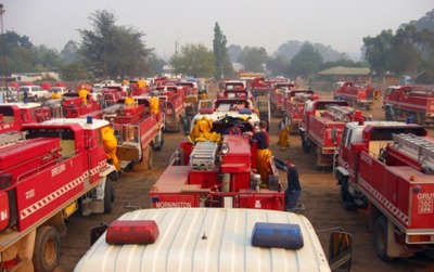
Work has begun on the installation of 6000 new digital radios in firefighting vehicles, aircraft, incident control centres, fire towers and work centres throughout Victoria. The $24.6 million project will see the current 19-year-old radio fleet replaced with a state-of-the-art system.
The consortium consists of Telstra, Tait Communications (NZ) and AA Radio Communications (Australia). The project will be led by the Department of Primary Industries and Environment (DEPI).
Each radio unit will be equipped with a GPS tracking system enabling incident managers to track the location of vehicles and firefighters in real time - improving fireground operations, logistics and firefighter safety.
The new radios are also compatible with CFA systems along with those of the SES and neighbouring states, which will simplify communications between the firefighting agencies when they are working together on the fireground.
Two thousand radios are expected to be installed over the next six months, with the remainder scheduled for installation ahead of the 2014/15 fire season.

The replacement of the radios addressed, in part, recommendation 22 from the Victorian Bushfire Royal Commission. The recommendation calls for standardisation of information and communications systems within DEPI and the Country Fire Authority (CFA).
DEPI manages the Network Emergency Organisations’ (NEO) radio terminal fleet comprising DEPI, Parks Victoria, VicForests and Melbourne Water. The new radios are compatible with the existing DEPI/CFA communications infrastructure, the State Mobile Radio Trunked Network and DEPI/CFA incident channel networks and fireground communications. Interoperability with SES and bordering states’ communications systems has been incorporated.
The radios will allow for an easy transition to the new digital P25 emergency service standards and planned digital future for Victorian communications networks. GPS displays enable users of in-vehicle and handheld radio units to use multiple mapping formats to provide enhanced interoperability. Where a network exists, the GPS information is sent back to the DEPI tracking system and displayed on FireMap for vehicle tracking, allowing commanders to see the location of resources.
Motorola law enforcement tech gets FedRAMP High authorisation
Secure body-worn assistant approved to handle sensitive government data.
Motorola launches role-based AI for first responders
Assist Suites is a portfolio of role-based AI for public safety to support dispatchers...
CIN to call for proposals for augmenting VaaN technology
The Connectivity Innovation Network will open a Call for Proposals for advancing Vehicle as a...


